
Salisbury Neighbors in Block Records
Public sources answer different block questions. Rowan County's assessor and deed sources identify parcels and recorded land roles. County and city GIS supply geographic context. Voter records are a limited election source, while neighborhood organizations are voluntary civic routes rather than government household files. Start with the address and use each source for its stated purpose. The closest parcel is not automatically the address of a Salisbury neighbor, and an owner label does not establish present occupancy.
| Source | What It Shows About a Block | Access |
|---|---|---|
| Rowan County ConnectGIS | Parcel, address, road, building, zoning, and subdivision geography | Public map viewer and county GIS resources |
| Salisbury EnerGov map layers | Address points, parcels, neighborhoods, historic districts, city limits, and non-annexation boundaries | Public city service layers |
| Rowan property search | Tax-record owner, situs, mailing field, and parcel details | Online search, counter, or telephone route |
| Rowan deed index | Recorded instrument references between land parties | Index and document route, subject to its access boundary |
| NC voter tools | Limited election fields and status for an identified person | Official search, downloads, lists, and Board assistance |
Property records should be read as parcel evidence. They can distinguish a property situs from an owner mailing field, but neither field should be silently relabeled as a resident's present address. A deed identifies the recorded instrument and its parties. It is not a block roster.
Salisbury GIS Layers for Neighbor Blocks
Rowan County ConnectGIS and the county public GIS service provide the broad county layer set, including parcels, addressing, roads, buildings, zoning, historic landmarks, parks, subdivisions, and street centerlines. Salisbury's EnerGov service adds a city-focused layer set with address points, parcels, neighborhoods, flood hazards, future land use, local historic districts, city limits, non-annexation boundaries, Rowan County streets, and the county boundary. Together they make a useful first view of the geography surrounding Salisbury neighbors.
County layers describe the larger parcel system. City layers help answer whether a parcel is inside the city, outside a city boundary, or in a non-annexed area. The service reports a maximum record count of 1,000 and supports data queries, but map geometry is still context rather than a legal conclusion. Save the address searched and the map date whenever a boundary affects the question.
Rowan County's public GIS layer listing documents the county geography available for a Salisbury neighbors check.
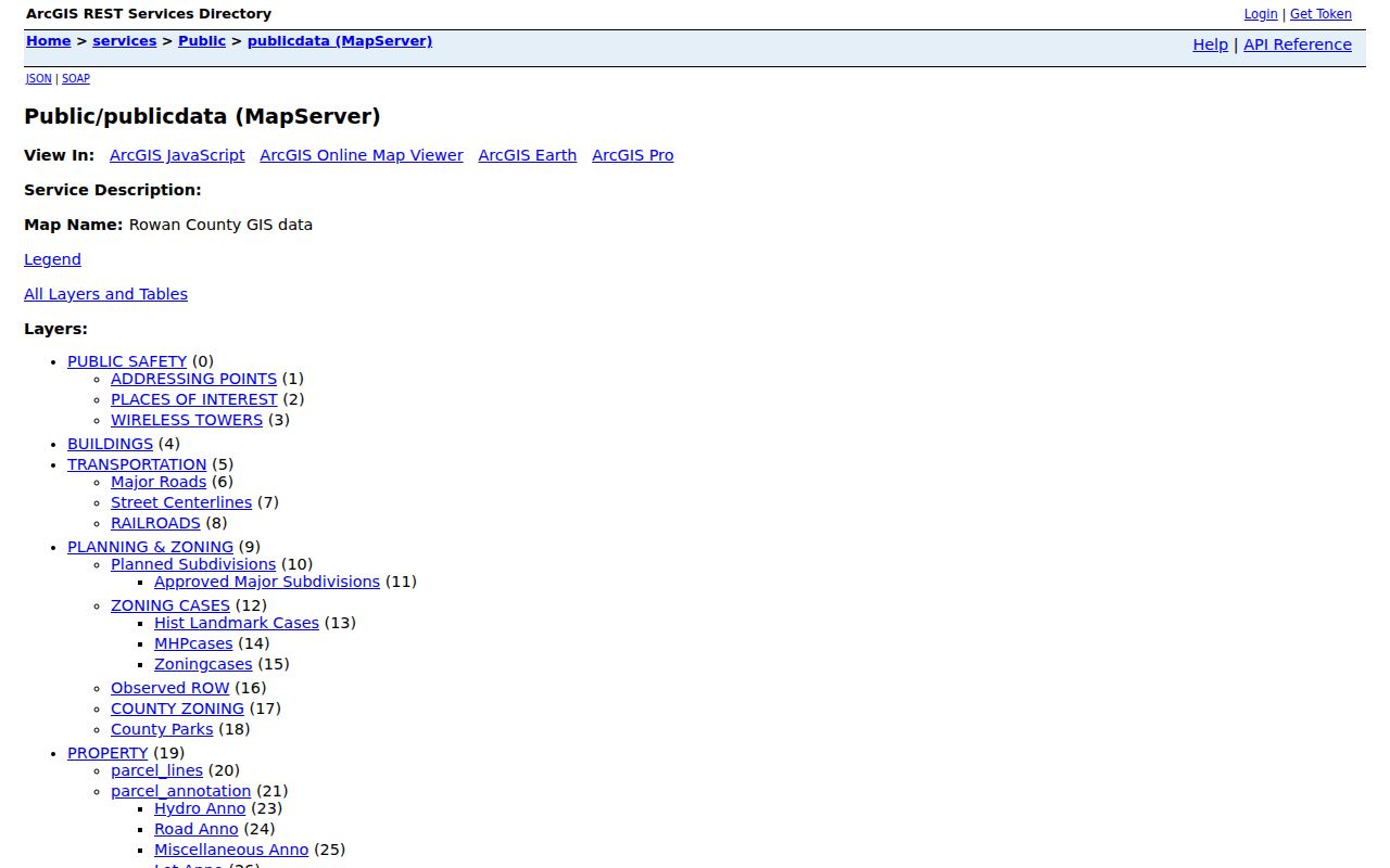
The county service is the geographic start, not evidence that a mapped parcel line is a surveyed boundary.
Map a Salisbury Neighbor Block by Parcel
Use a short, repeatable chain from one address to the nearby parcels. The county and city maps are useful for discovery because they bring address points, parcel polygons, and roads into view. The assessor then provides the parcel card, and the Register of Deeds supplies the recorded instrument when the question requires a deed or plat. This sequence keeps Salisbury neighbors research grounded in recorded roles and visible geography.
- Search the address in Rowan or Salisbury GIS and note the displayed address point, parcel shape, road, and city-limit layer.
- Open each immediately adjoining parcel only to capture the parcel identifier and its spatial relation to the starting lot.
- Check the matching assessor parcel profile for tax-record owner, property situs, mailing field, legal description, and transaction reference.
- Use a book and page or instrument reference in the Register index when a recorded deed or plat is needed for verification.
For a longer named-street sequence, use the Salisbury Street Directory. The block method remains narrow: one address, the surrounding parcels, and the document trail needed to confirm land facts.
Salisbury Neighbors Need Geographic Checks
A Salisbury postal label does not prove that a parcel lies inside Salisbury municipal limits. City GIS separately exposes City Limits, Rowan County Boundary, and Non-Annexation Boundaries. This distinction matters around the edge of the city because the county owns the assessor and deed layer while the city supplies municipal map context. A mailing field can also describe where tax notices go, not where the parcel is located.
The city warns that its maps are approximate and that deeds and plats should be verified. A plat is a recorded map or plan that can clarify a lot's legal relationship to its subdivision or boundary. If the parcel geometry controls an important decision, consult the recorded deed or plat rather than treating a public map line as a survey. Preserve the historic street form and legal description when older sources use a township, block, lot, subdivision, or landmark instead of a current number.
Salisbury's EnerGov map service is the source for the city-limit and non-annexation layers used in a block comparison.
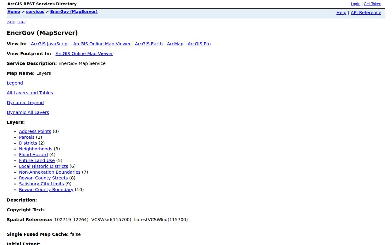
Check the city layer beside the county parcel layer, then verify the governing land document when exact boundary facts matter.
Note: Map shapes are approximate tools for finding the right record, not substitutes for deeds, plats, or a legal survey.
Salisbury Neighbor Owner Roles Differ
The Rowan assessor profile can show a parcel identifier, owner, property address, mailing field, land use, valuation, legal description, and recorded transactions. These are useful facts about land administration. They do not prove who is presently at the address. The research sample also shows why the property situs and owner mailing field must stay separate: a county-owned parcel can have a government mailing field that differs from its physical location.
- Parcel
- A defined piece of land used in county tax and map systems. It has an identifier that can connect map, assessor, and deed research.
- Situs address
- The property's physical address in a tax record. It should not be confused with an owner's mailing field.
- Owner mailing field
- The destination used for a tax notice or related correspondence. It can be different from the parcel location.
- Plat
- A recorded map or plan that may identify lots, streets, and legal descriptions. It is stronger evidence than an approximate map display.
The deed index also labels its description as not warranted, which is a reason to read the document image and any linked plat. Use grantor and grantee as document roles, not as a shortcut to present residence.
Salisbury Neighbor Voter Data Has Limits
The North Carolina voter lookup requires first and last name, with an optional middle initial, year of birth, county, and status selection. The state describes public voter fields such as name, address, party, age, precinct, districts, and voting history. Full date of birth, Social Security numbers, driver-license information, email, and photo-ID copies are protected. Voter-history records do not disclose candidate or ballot choices.
NCGS 163-82.10 also permits protection for qualifying addresses. The NC Department of Justice Address Confidentiality Program provides a substitute address to eligible participants for mail, voting, driver licensing, and utilities. Do not work backward from parcel, voter, GIS, or postal information to identify an Address Confidentiality Program participant's location. Treat a removed or inactive election status as exactly that, not as a statement of present residence.
For assistance with lawful election records, the Rowan Board of Elections is the local office route. Its public data rules still apply to a block-level question.
Salisbury Neighbor Partnerships Are Voluntary
Neighborhood organizations can offer a community route that public parcel records cannot. Salisbury's city partnership material identifies the Neighborhood Leaders' Alliance and civic associations, and the research also identifies SNAG and the Salisbury Homeowners Association as local layers. These groups serve neighborhood participation, communication, and association matters. Their presence does not turn private member information into a public roster.
| Community route | What it can provide | Boundary |
|---|---|---|
| Neighborhood Leaders' Alliance | City-connected neighborhood and civic partnership route | Use the public city contact route, not a member list |
| SNAG | Neighborhood civic context | Do not imply access to a private roster |
| Salisbury Homeowners Association | Association and recorded-covenant context | An annual directory delivered to members is not a government record |
Salisbury's neighborhood partnership page is the public route for the Neighborhood Leaders' Alliance and civic connections.
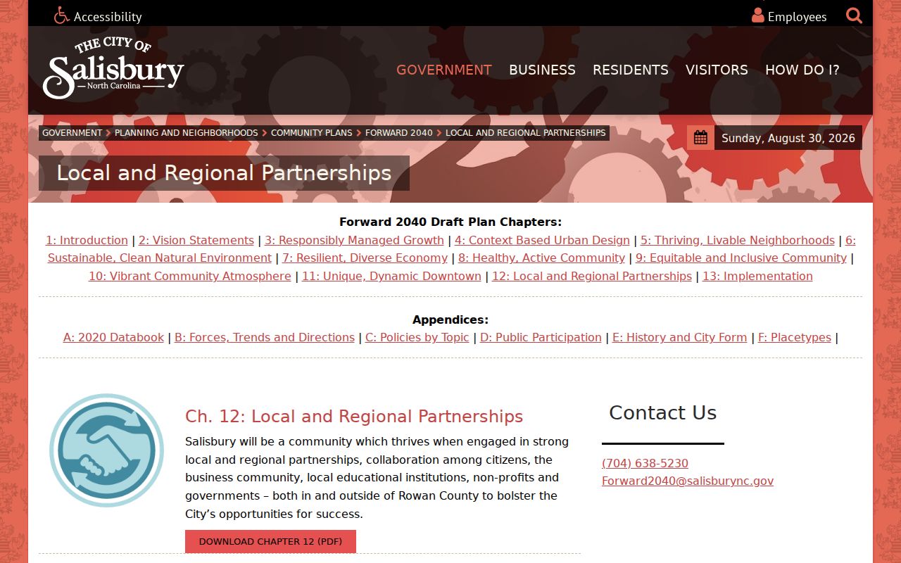
The city partnership route supports civic contact without publishing a directory of private association members.
Salisbury Neighbor Sources Compared
Official records and commercial neighbor-search categories serve different purposes. The official route identifies the office, record date, parcel, legal role, and access limits, so a reader can return to the custodian for verification. Commercial listings can combine old, incomplete, or mismatched data and may not make source dates or roles clear. Neither category should be used to create a dossier about a person.
| Official property and map records | Commercial neighbor listings |
|---|---|
| Identify a specific custodian, parcel, map layer, or recorded instrument | Can blend sources without a clear custodian or record date |
| Show owner, grantor, grantee, or map geography as labeled roles | May obscure the difference between historical and current information |
| Allow a deed, plat, or clerk record to be checked at its source | May leave no direct route to correct a mismatch |
For an ownership fact, the Register or Assessor is the verification path. For a mapped block, use GIS to find the parcel and then read the recorded document as needed. Do not use a third-party category as proof that a person is a Salisbury neighbor.
Privacy Limits for Salisbury Neighbors
Public geography is not a permission slip to expose people. Utility and delivery data are not public block records. Protected addresses must remain protected, and court records can be confidential or sealed. The safest practice is to keep only the source, date, jurisdiction, and role necessary to understand a parcel or public record. A mapped point, a voter entry, and a tax owner can all refer to different facts.
North Carolina's public-record principles permit access to existing records subject to exceptions and lawful redaction. They do not require an office to assemble a new block list or answer a broad personal inquiry. Direct a correction to the office that created the official record, and avoid combining information from unrelated sources into a claim of identity.
Lawful use. Use Salisbury neighbors research for personal, lawful property and civic context. Stalking, harassment, intimidation, and efforts to reveal protected addresses are prohibited.